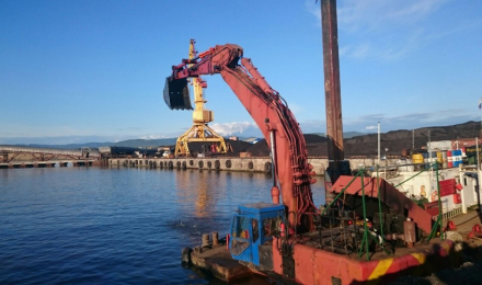
Geodetic support for dredging operations




-
Geography
Baltic Sea
-
Services
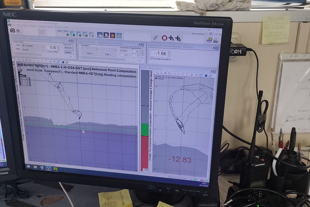
Dredging automation and monitoring
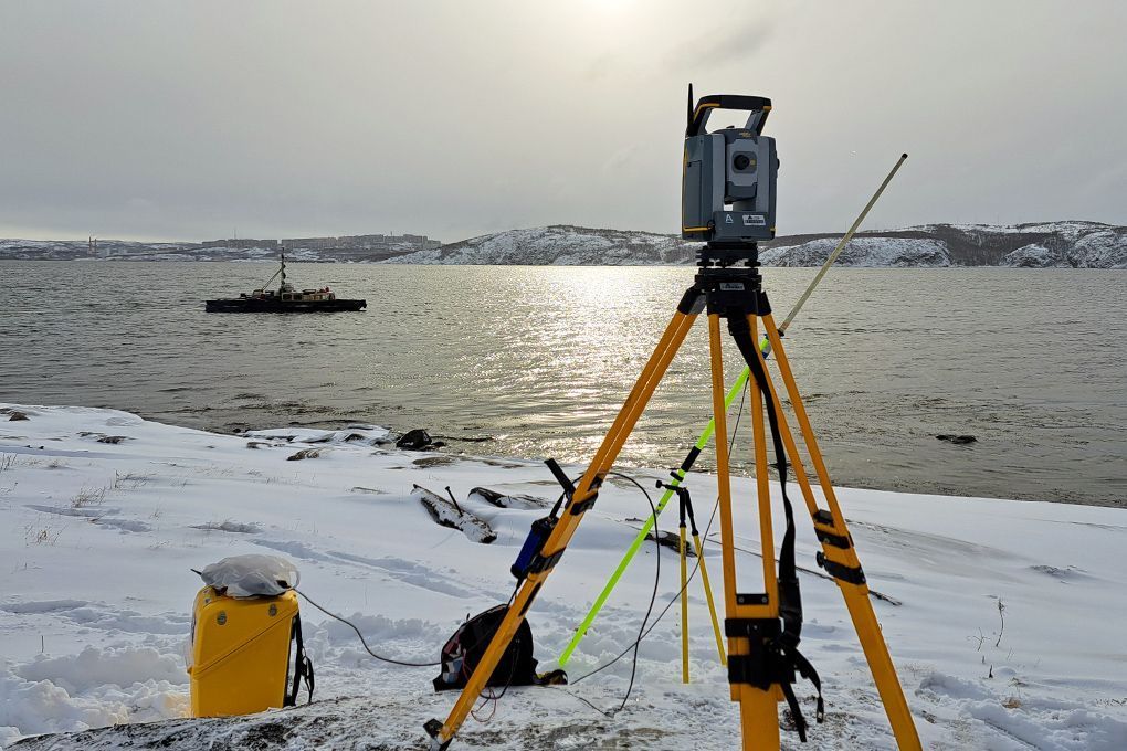
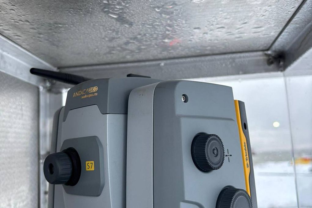
Marine Geodesy developed a dredger positioning solution for operation without GNSS signals. The system uses a Trimble robotic total station and conventional geodetic methods.
Positioning is maintained continuously. When GNSS is unavailable, the total station determines the coordinates and transmits them to the dredging control software.
Results of the project
A dredging control positioning solution for operation without GNSS signals.