Marine engineering survey services

Marine engineering survey services
Marine engineering survey services
Marine engineering surveys for the design and construction of offshore and coastal structures.


Description
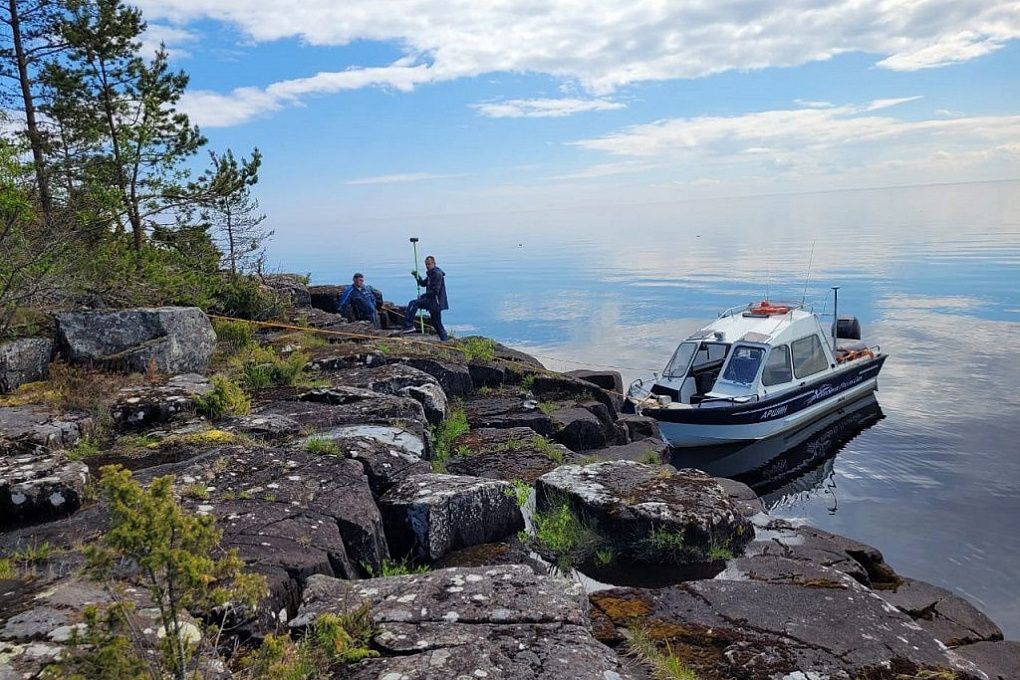
Marine Geodesy carries out marine engineering surveys for the design and construction of offshore and coastal structures. The scope is selected for the project and may include geodetic, geological, hydrometeorological and environmental surveys, as well as archaeological investigations and unexploded ordnance surveys.
Fieldwork combines hydrographic surveying, geophysical investigation, drilling, sampling and observations of the marine environment. Survey materials provide the data needed for design decisions and assessment of site conditions.
Survey reports undergo review by Glavgosexpertiza of Russia and the 280th Central Cartographic Production facility of the Russian Navy.
Types of jobs
Engineering geodetic surveys
- Topographic surveys
- Engineering hydrographic surveys
- Navigation and positioning support
- Search and inspection of underwater objects
Unexploded ordnance surveys
Surveying water areas for unexploded ordnance (UXO).
Engineering geological surveys
- Drilling and borehole investigations
- Geophysical investigations
- Water and seabed sediment sampling
- Seismic microzonation
Engineering hydrometeorological surveys
- Water sound velocity, temperature and salinity measurements
- Current, wave and water level measurements
- Meteorological observations
- Sediment transport studies
Environmental surveys
- Water and seabed sediment sampling
- Marine mammal and bird observations
- Zooplankton and phytoplankton sampling and analysis
Archaeological investigations
Archaeological surveys and investigations.
Completed work


Project enquiry details
To discuss marine engineering surveys, specify the location and boundaries of the survey area, the project stage, the required work and the planned schedule. Include the technical brief and existing survey data if available.
Discuss your project