Сбор и подготовка баз данных навигационно-гидрографической информации для создания ЭНК Ладожского озера


-
Customer
Sitronics KT
-
Geography
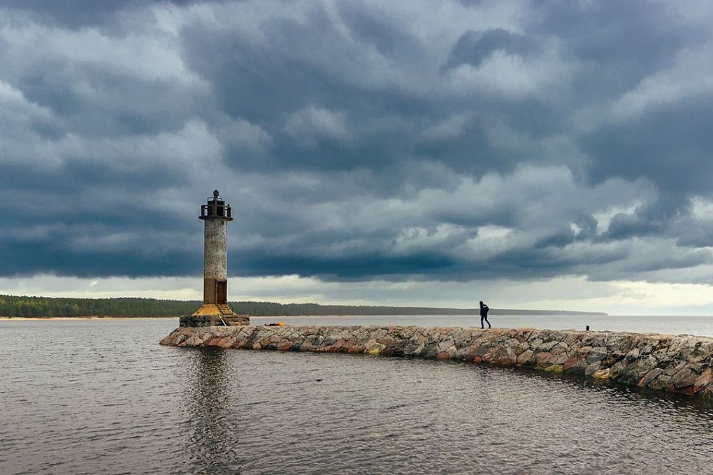
Inland water ways
-
Period
2021-2023
-
Services
Database and software development
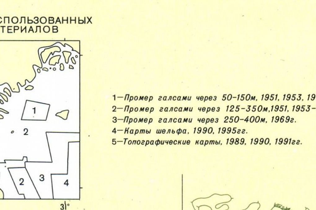
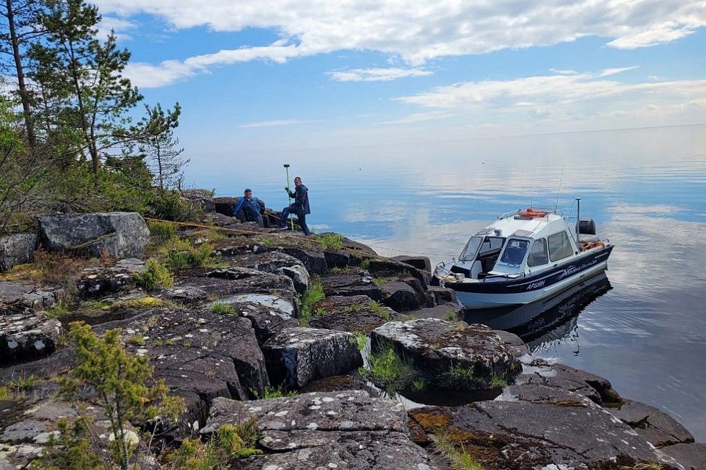
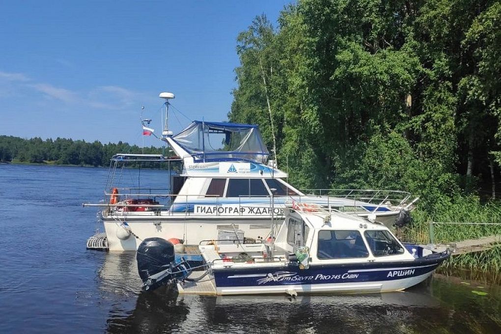
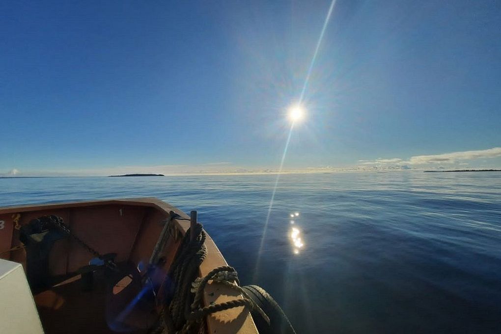
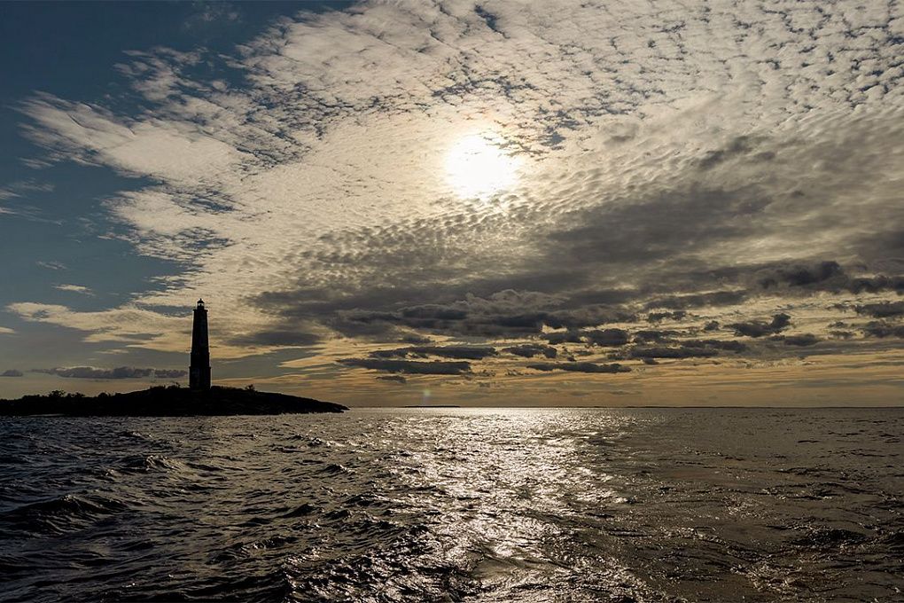
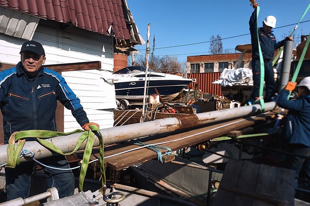
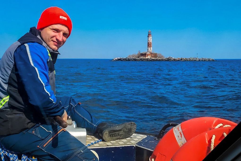
Marine Geodesy involved in long-term project "Ladoga lake ENC production with all water area hydrographic survey operation". The main project activities include:
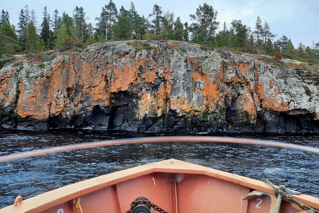
- Initial navigational and hydrographic data gathering
- Hydrological measurements
- Navigational objects positioning
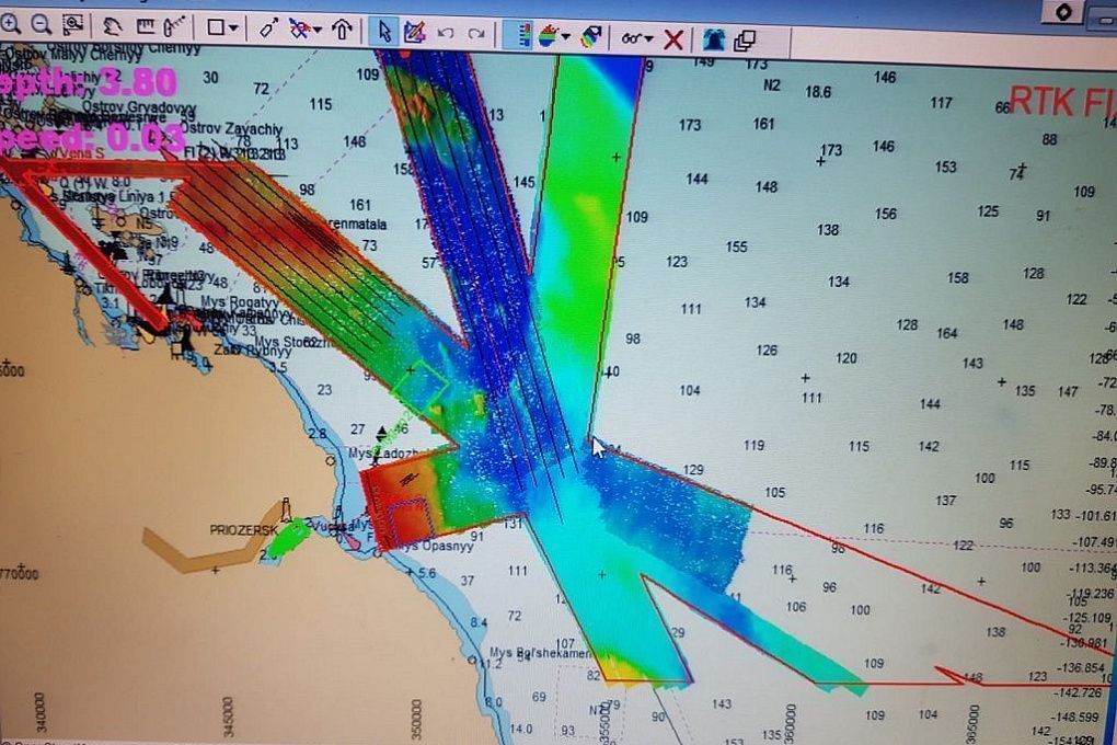
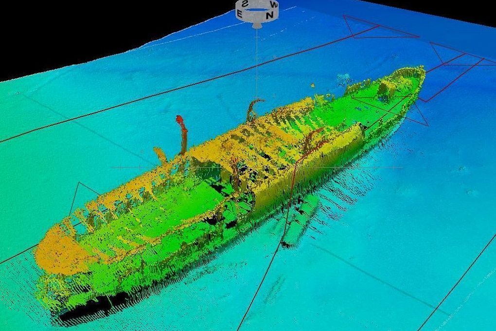
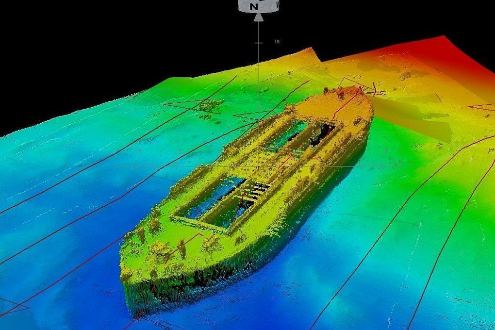
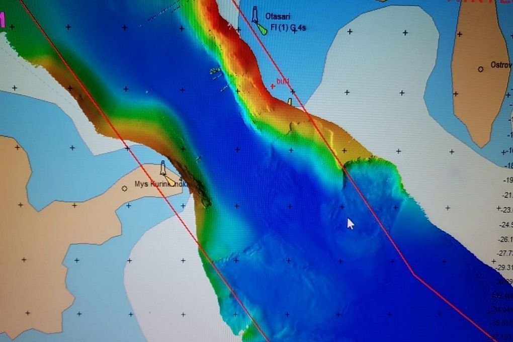
- High resolution MBES survey (critical areas, channels and routes, plan scale 1:5000) of the 695 km2 water area
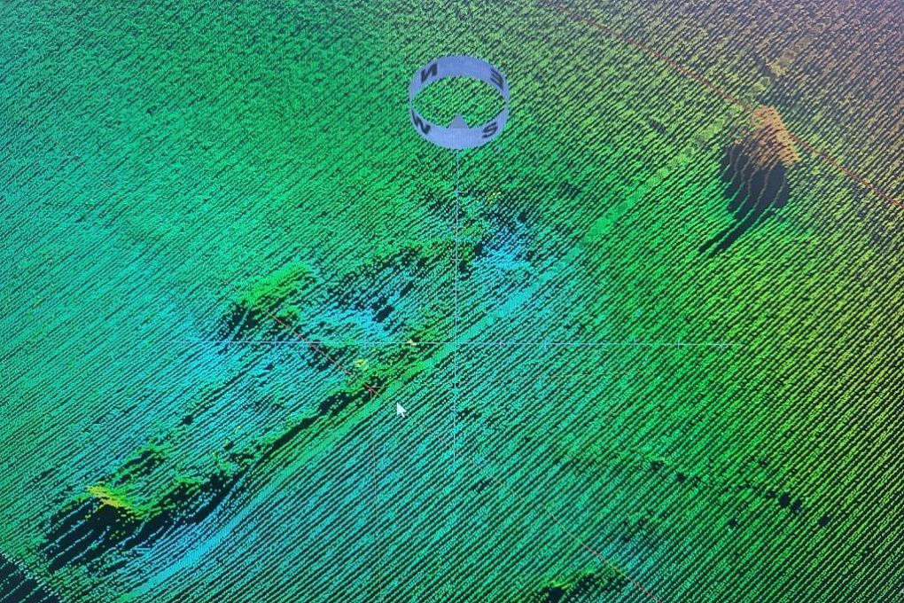
- Comprehensive SBES survey (plan scales 1:50000 and 1:100000) of the 2088 km2 water area
- Survey data base preparation for ENC production
- Charting and reporting
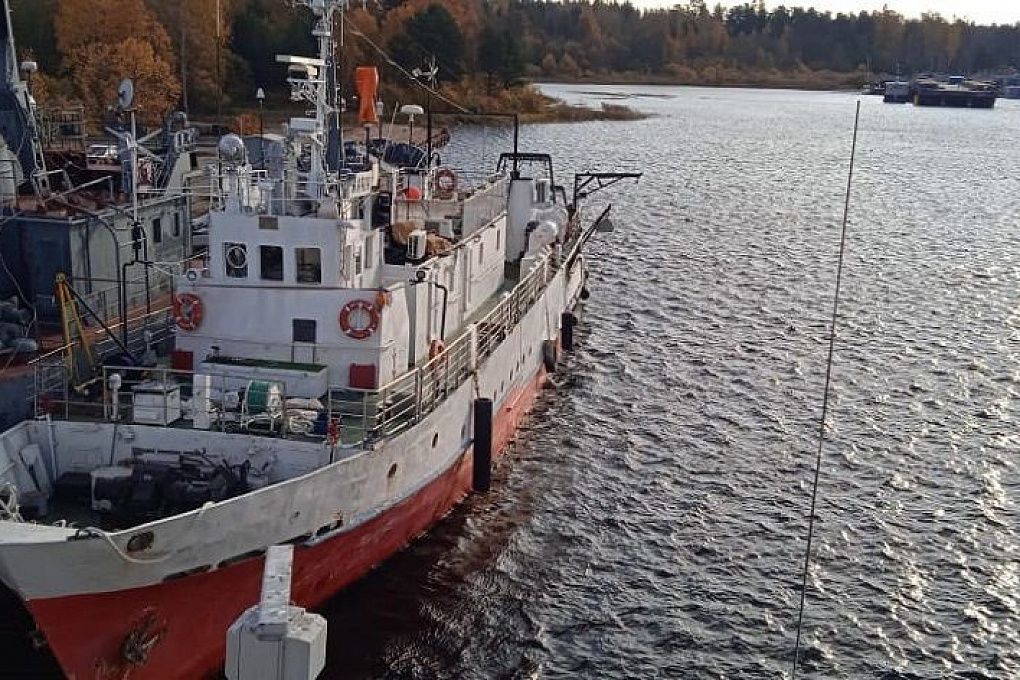
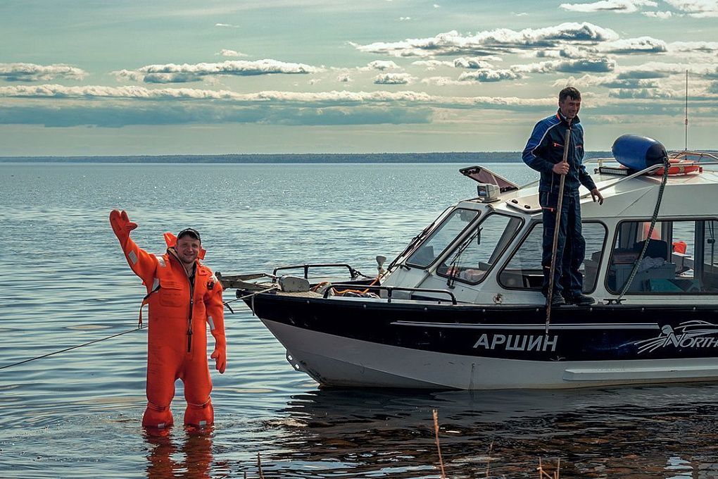
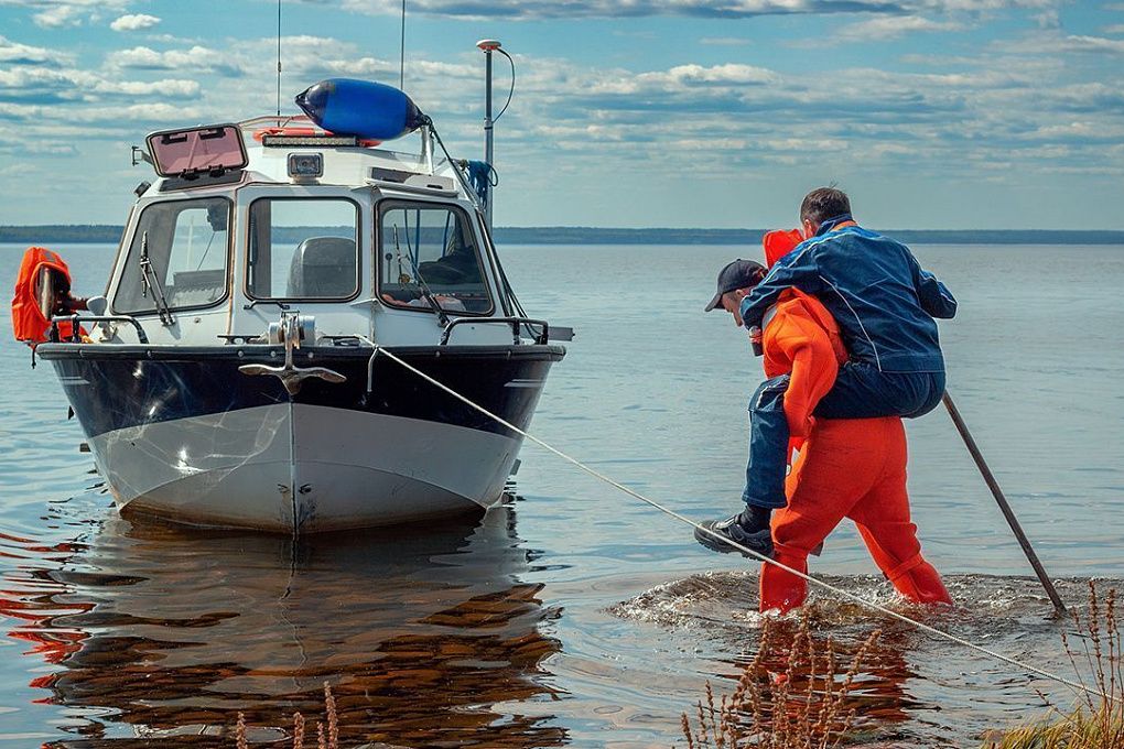
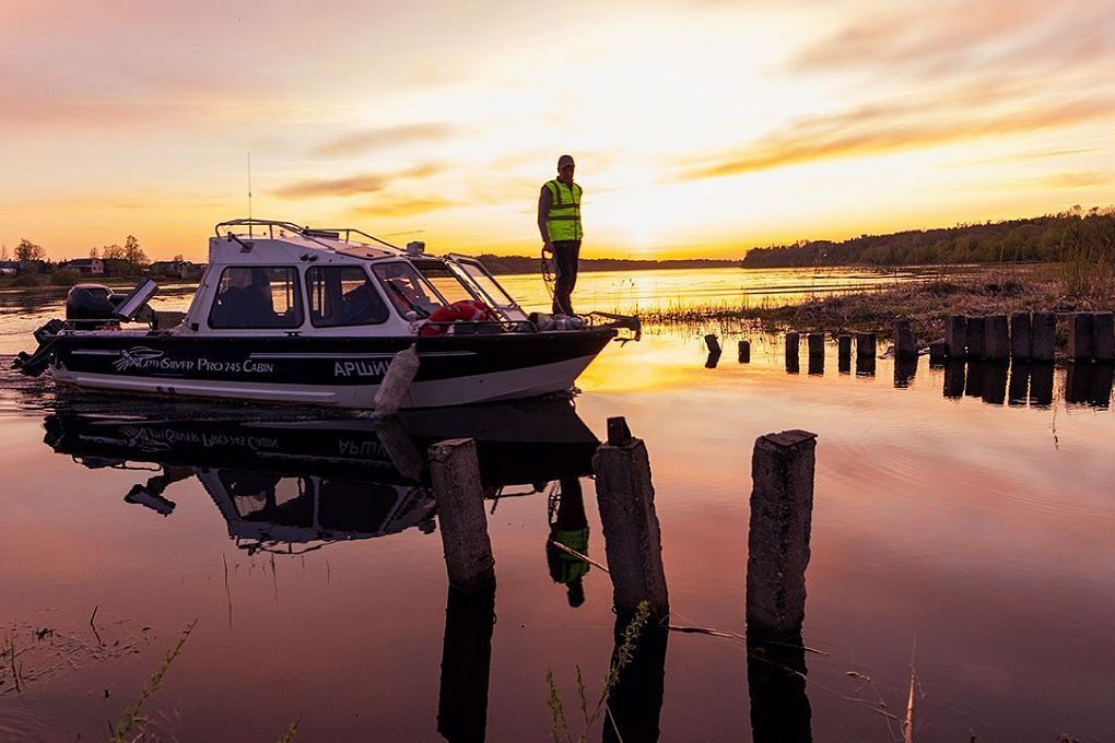
Modern hydrographic equipment was used in project (dual head multibeam systems Reson IDH T20, high resolution MBES Reson T50 and high precision SBES Navisound NS15).
Survey vessels positioning was executed in RTK-mode with centimeter level accuracy. Ladoga lake surveys were performed within the tight schedule according to IHO standards.
Results of the project
Work under progress