Marine geodesy — About us

Фон intro

Why with us

О нас

  • More than 240 projects for past 13 years
  • 16 positive findings of the General Board of State Expert Review (Glavgosexpertiza of Russia) based on the engineering surveys results
  • 32 positive technical expertise findings of the hydrographic surveys results from the Central Cartographic Production
  • Official Hydro-Tech Marine Technology Co. representative in Russia
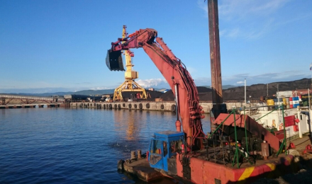
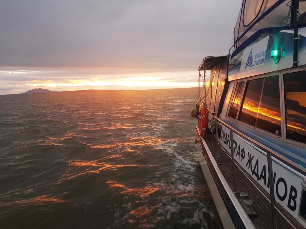
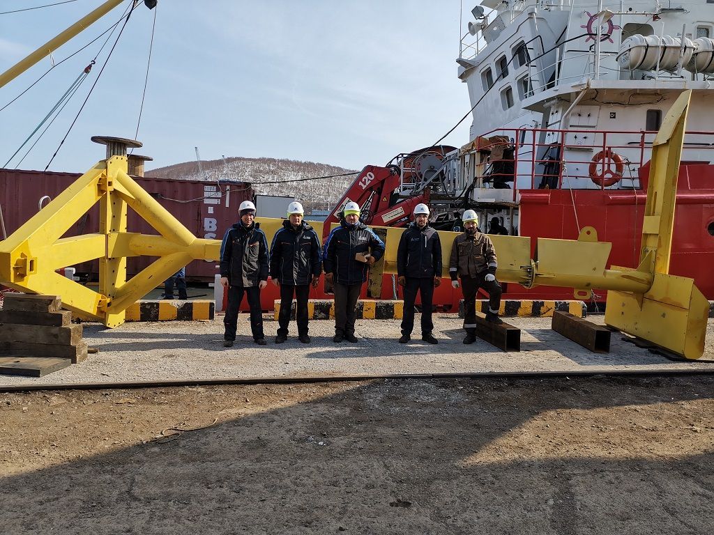
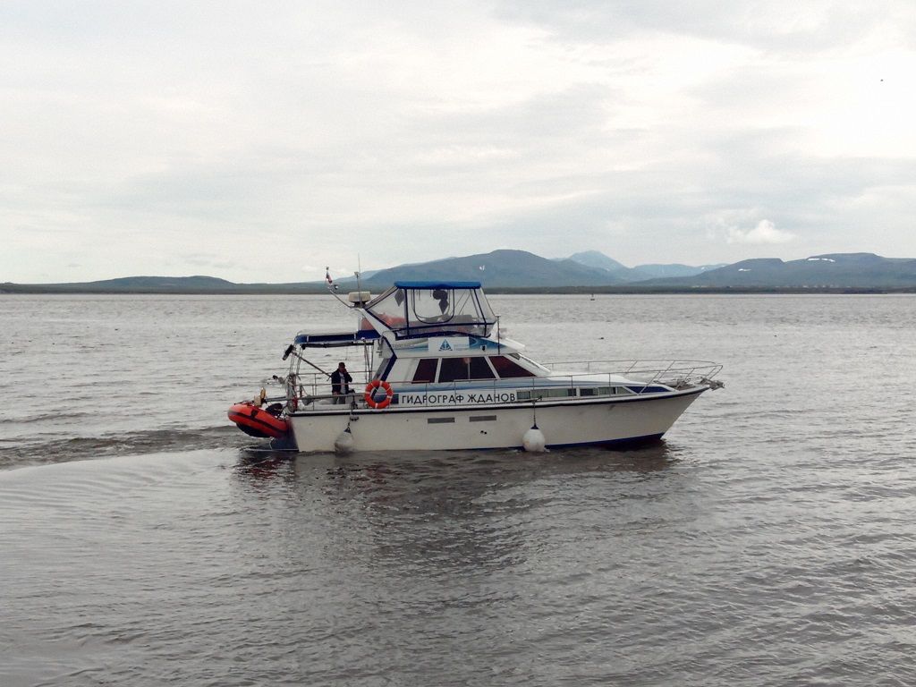
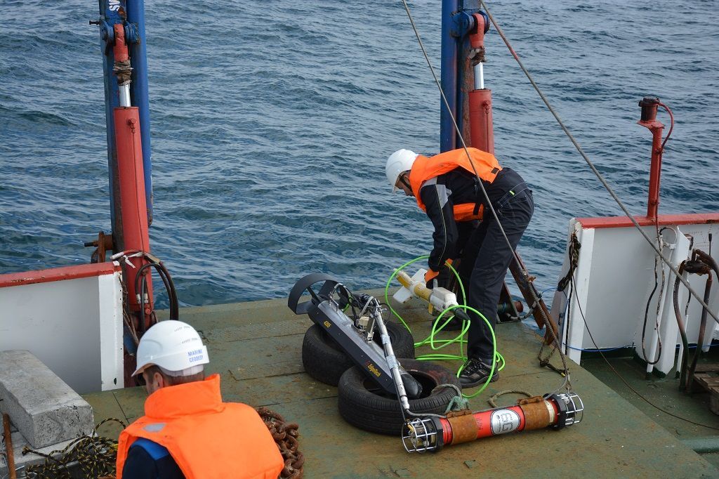
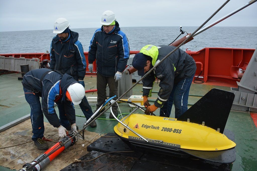
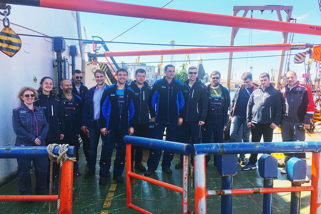
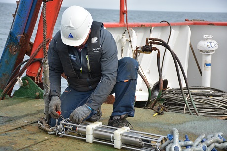
  • A team of hereditary surveyors, sailors and engineers
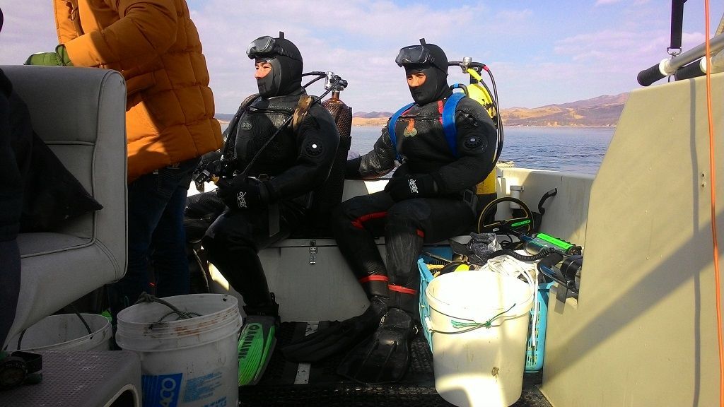
  • Over 1300 units of marine research and survey equipment available for our own use and rent
Мы выполняем весь спектр работ, необходимых для проектирования, обеспечения строительства и мониторинга морских объектов, а также для обеспечения безопасности мореплавания. Наша компания использует индивидуальный подход к каждому проекту и нацелена на эффективную работу, максимально отвечающую требованиям заказчика.
  • slide
    slide

  • slide
    slide

  • slide
    slide

  • slide
    slide

  • slide
    slide

  • slide
    slide

  • slide
    slide

  • slide
    slide

  • slide
    slide

  • slide
    slide

  • slide
    slide

  • slide
    slide

  • slide
    slide

  • slide
    slide

  • slide
    slide

  • slide
    slide

  • slide
    slide

  • slide
    slide

  • slide
    slide

  • slide
    slide

  • slide
    slide

  • slide
    slide

  • slide
    slide

  • slide
    slide

  • slide
    slide

  • slide
    slide

  • slide
    slide

  • slide
    slide

  • slide
    slide

  • slide
    slide

Our mission

Our mission is to contribute to the enrichment of knowledge about our planet, its origin and evolution to ensure the safety of maritime activities.

background

Company goals

Every day we realise our vision through: 

  • Improving the organization and the efficiency of marine surveys and researches
  • Maintaining a high level of responsibility, integrity and honesty in relation with our employees, partners and customers
  • Improving the methods and ways of marine surveys by implementation of the latest science achievements and technologies in work practice
  • Ensuring a decent standard of living, safety and optimal working conditions for employees

Our history

"Marine geodesy" LLC started its activity in 2007, specialized at the origin on hydrographic surveys. In 2011 group of companies was created with common brand "Marine geodesy", which incorporates - "Marine geodesy LLC" and "Green Reef" LLC. Supplied services were significantly increased.
  • 2007

    The company "Marine Geodesy" LLC was founded

    slide
  • 2009

    The first project was completed - hydrographic work in the water area of the seaport of Kandalaksha

    slide
  • 2010

    A complex of marine engineering surveys has been completed along the projected route laying an underwater fiber-optic cable through the Nevelskoye Strait, the Sea of Okhotsk.

    slide
  • 2011

    Green Reef LLC was founded to work in new areas of activity, the company becomes the official representative of Teledyne Reson in Russia and the CIS

    slide
  • 2012

    Demonstration of MBE Reson 7125 SV2 capabilities at the Neva-2013 exhibition

    slide
  • 2015

    Detection and examination of the place of shipwreck of the torpedo boat D-3 during the Great Patriotic War

    slide
  • 2016

    Start of marine engineering surveys on "Construction of the El-Dabaa Nuclear Power Plant" object in the Arab Republic of Egypt

    slide
  • 2016

    Determination of the parameters of the underwater part of icebergs by a multibeam echo sounder

    slide
  • 2017

    Surveying from the AUV at depths up to 1500 meters

    slide
  • 2019

    Beginning of partnership with LLC "Huawei Tech Company" on underwater FOCL projects

    slide
  • 2021

    Deep water multibeam survey

    slide
  • 2022

    The beginning of cooperation with "Divo" diving club

    slide

Licenses and certificates

Companies within the "Marine Geodesy" group have all the necessary licenses and certificates for the performance of work. They are also members of the SRO (self regulated constructor organisation:

Association of survey engineers "StroyPartner", Association of construction designers "StroyObedinenie",
Association of constructors "DSP" SPHERE-A ".
  • Лицензия

    Geodetic and cartographic license

    download details Скачать
  • Лицензия

    Roshydromet license (Federal Service of Russia on Hydrometeorology and Monitoring of the Environment)

    download details Скачать
  • Лицензия

    SRO certificate of admission to engineering surveys

    download details Скачать
  • Лицензия

    SRO certificate of admission to work on the desk studies

    download details Скачать
  • Лицензия

    Trademark certificate

    download details Скачать
Яндекс.Метрика